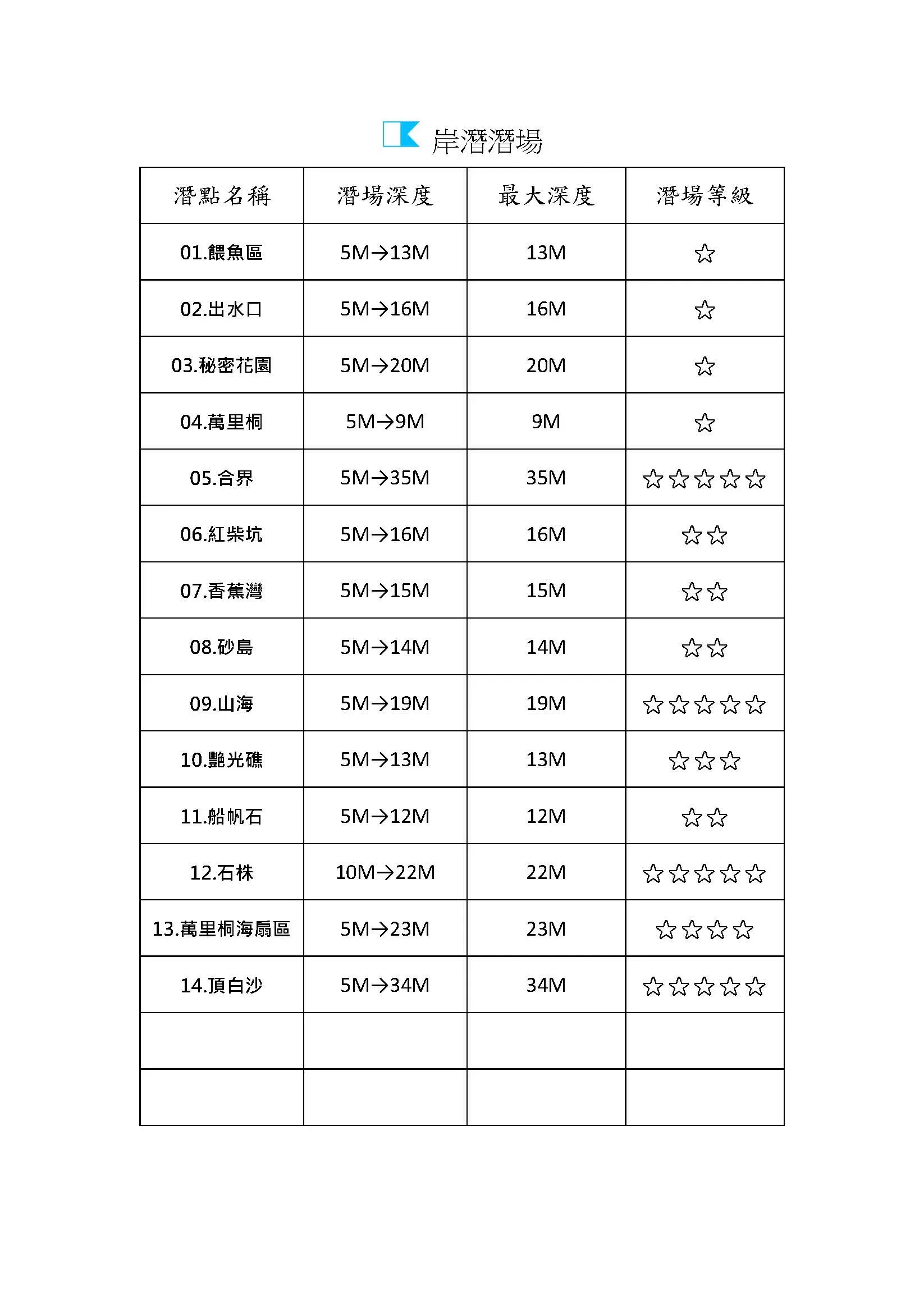
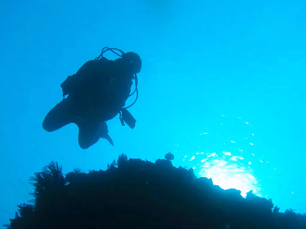
SHORE DIVE - WEST COAST WATERS
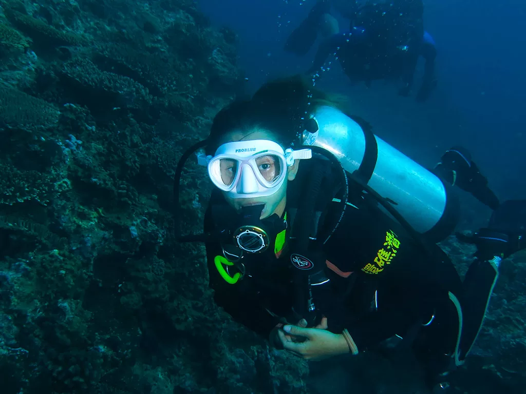
FUN DIVE IN KENTINGThe Hengchun Peninsula is the only tropical climate zone in Taiwan, with long summers and inconspicuous winters, with the coldest average water temperature in January being about 22~23 degrees Celsius, and the hottest average water temperature in July being about 28 degrees Celsius, with a warm climate throughout the year. The rainy season in the region is concentrated from June to October, and the dry season is from November to May. In winter, from October to March, there is the northeast monsoon and the terrain effect, which makes the winds particularly strong, with the strongest wind speeds reaching 10 to 17 meters per second, commonly known as the downhill winds.
Due to the advantages of the terrain, in Hengchun in winter, the strong winds from the mountains will cause the sea surface along the coast to show pieces of white waves, and the turbulent waves on the sea surface, except for the typhoon, the rest of the time does not affect the seabed, so the impact on the diving activities is limited. You only need to do a good job of keeping warm on the shore and wear the appropriate diving cold suit and equipment, Hengchun Peninsula is one of the few places in Taiwan that can provide divers with diving activities all year round.
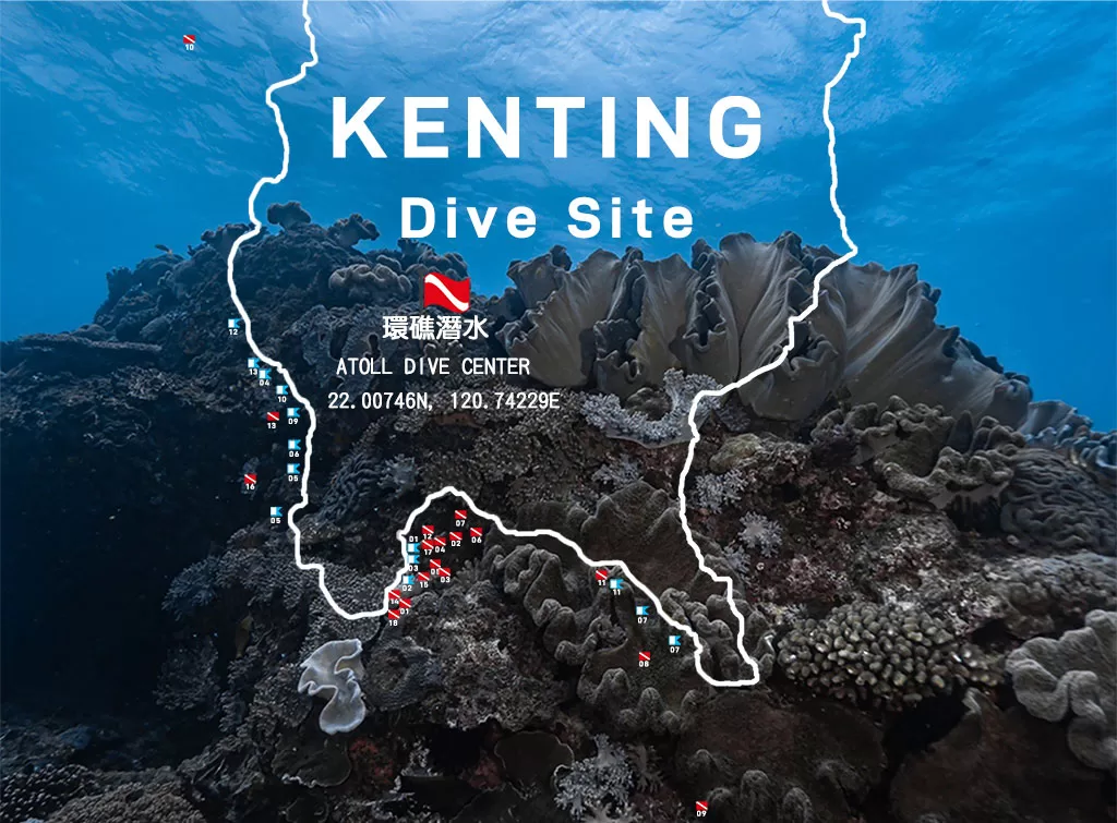
About Kenting West Coast Dive Site
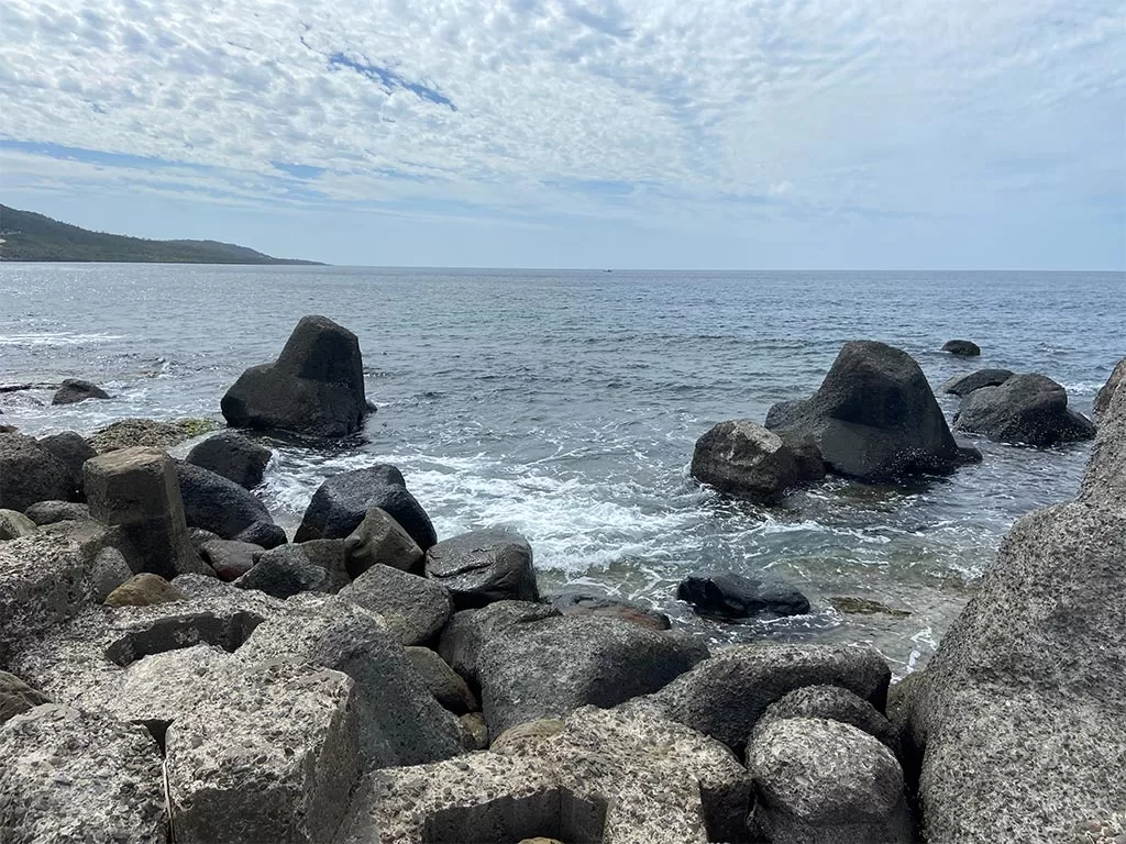
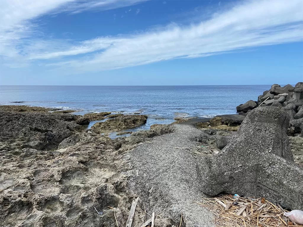
West Coast: refers to the coastal area south of the mouth of Baoli River (Houwan) to the vicinity of Maobutou, and the entire west coast is divided into the Wanlitong coast in the north and Guanshan coast in the south, separated by the Red Chai Valley, the main feature of this area is the rising coral reefs formed by the apron reef terrain, Wanlitong and Bayshore have coral, shells and other large debris formed by the sandy beaches, with the most representative of the Shiju, Wanlitong seabed large-scale sea fan landscape area. Among them, Shizhu and Wanlitong have the most representative scenery of large sea fan area under the sea, and the dive sites on the west coast include Hejie, Dengbaisa, Shanhai, Wanlitong,HungChaikeng, Shizhu, and Yimgwang Reef.
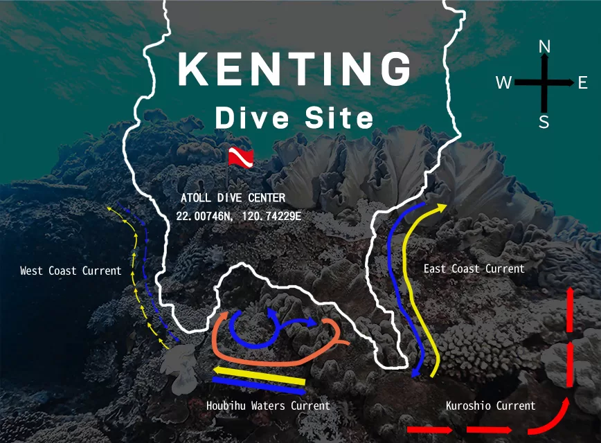
The current system around the Hengchun Peninsula is complex and variable, the general environment of the outer sea is affected by the Kuroshio and the South China Sea water currents alternating seasons, while the influence of the tides is the most obvious in the Kenting waters, the currents on the west coast and the east coast are more simple, mainly presenting the high tide to the north and the ebb tide to the south, the areas to be watched out for are the Dingbaishe and the Shizhu, due to the topography being a prominent promontory, it is susceptible to the effect of the high tide and the ebb tide or the coastal currents, and the currents have some degree of confusion, so one has to be especially careful when diving in this area.
Hengchun Peninsula Best Shore Dive Site
West Coast Sites - Hojie
Starting from the Paoli Station of the Taiwan 26th Line, go straight to Puchong Road, start from the Haisheng Hall, pass the small, simple fishing village in Houwan, and then drive along the coastal road, passing through Shimoushuihori, Wanlitong, Shanhai, and arriving at the fork in the road at Hongchaikeng, then turn right and go straight along the road to arrive at the Heping Jie. The scenery along the way is breathtaking, with mountains and the sea on either side of the straight road, where big olive trees are planted, green and cicada chirping in spring and summer, and red leaves falling in winter and spring, showing a fascinating style in different seasons, and the simple road sign at the T-junction with the old and unimpressive bus signboards, which is a favorite dive spot for divers - Hejie
Best Dive Sites in West Coast - Hejie
For intermediate to advanced diversAnyone who has been to Kenting to dive will not want to miss the best dive site.
Shore Dive Boundary Dive Site, suitable for intermediate and advanced divers to explore, the depth of this dive site, after entering the water from the point of entry, the depth of the depth from -5M to the west can be as deep as -28M sand.
The underwater geomorphology of Hapuijie is very different from that of the Houbi Lake dive site. The reef at a depth of -5M to -12M is rich in underwater ecosystems, with scattered independent sand pits and a reef that extends to -12M. From the point of entry to the west, you will pass through the north and south sides of the sun and moon hole (sea erosion gap). Then there is a small drop wall down to the -17M sand ditch. This sand ditch runs across the north and south sides, with a length of about 40M, showing a landslide terrain.
From the point of entry to the west, we usually divide the boundaries into south and north, this site is located in the Taiwan Straits, the direction of the current is north-south, generally speaking, the south current (from north to south) is mostly. Divers should have the skills of buoyancy control and coping with strong currents. The way of entering and exiting the water point varies with the terrain and current, so it is recommended to be explored by intermediate and advanced divers. -There is also a secret dive site off the 28M sand, Hap Kok Rib Ship, which you can choose to dive from shore or by boat.
West Coast Dive - Hung Chai Hang
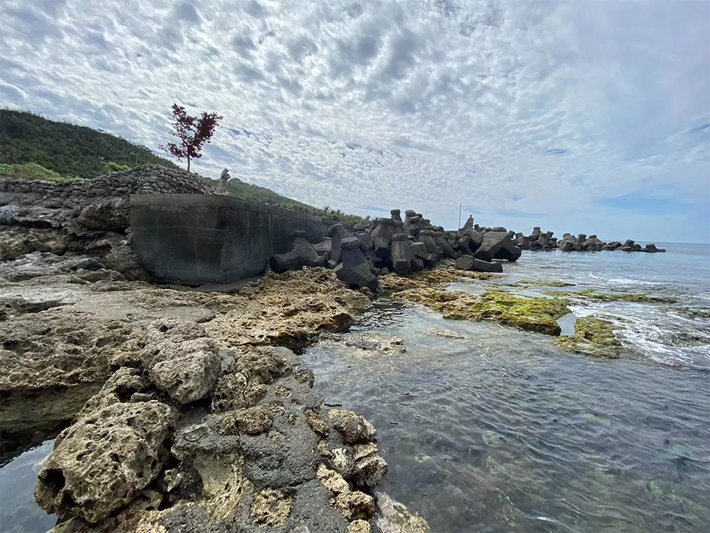
This site is located on the west coast of Hengchun Peninsula next to Hongchaikeng small fishing harbor, from Provincial Highway No. 26 through the back bay of Checheng, turn into the direction of the Haishengkan, and then connect to the 4-1 scenic road, along the road to the south, after passing through Wanlitong, Shanhai, meet the T-intersection to the right, and then connect to a small alleyway to go down to the small fishing harbor of Hongchaikeng.
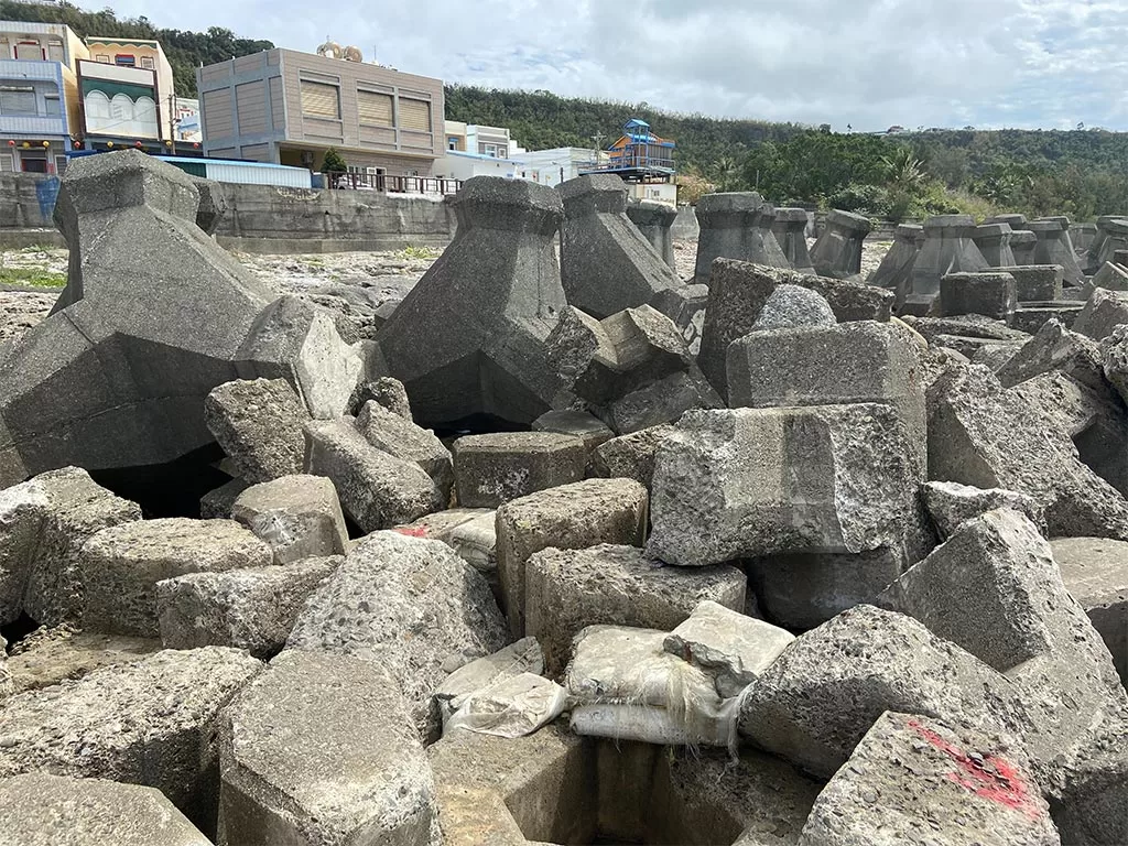
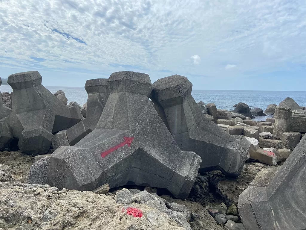
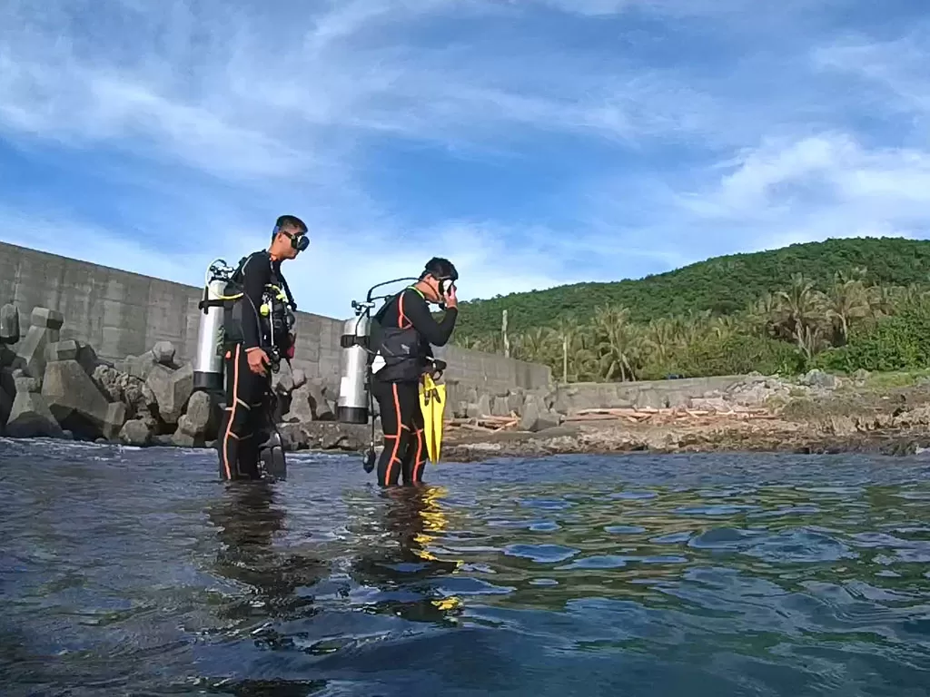
There are two points of entry for shore diving, namely the south side of the harbor and the north side of the harbor. To ensure safety, please do not ascend arbitrarily in the harbor channel, and dive with a dive guide. The entry point on the south side is next to the breakwater. Vehicles can follow the higher paths in the harbor, park the vehicle at the end of the breakwater and start loading, and then enter the water at the intersection of the breakwater and the reef shore. The north side entry point is also next to the breakwater, park your car in the parking lot in front of a pavilion shaped like a mushroom in the harbor, then walk down the stairs of the seafood store next to it and walk towards the coast to the end of the side breakwater, and enter the water at the intersection of the wave breaker and the reef shore. Since the coastline is concave with an opening to the west, the current is relatively small compared with other dive sites, and there are fewer waves to beat, so it is quite easy to get on and off the shore, but please pay attention to be careful.
Ecology of Hung Chai Hang Dive Site
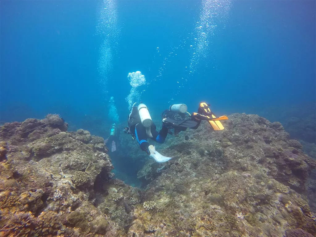
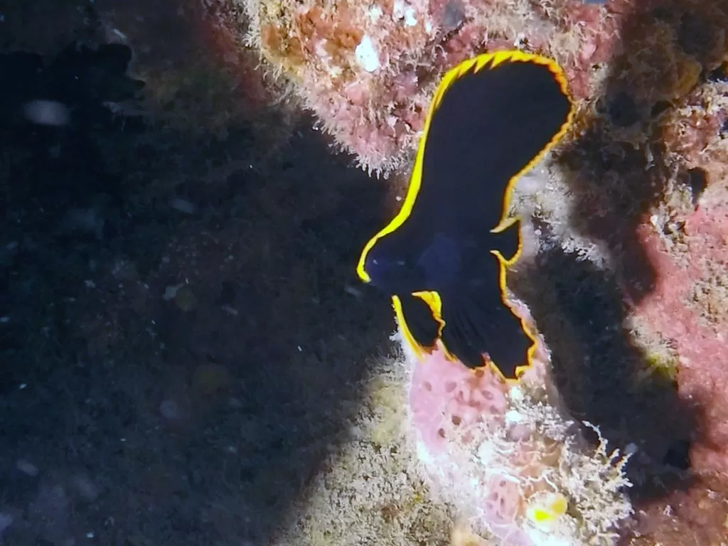
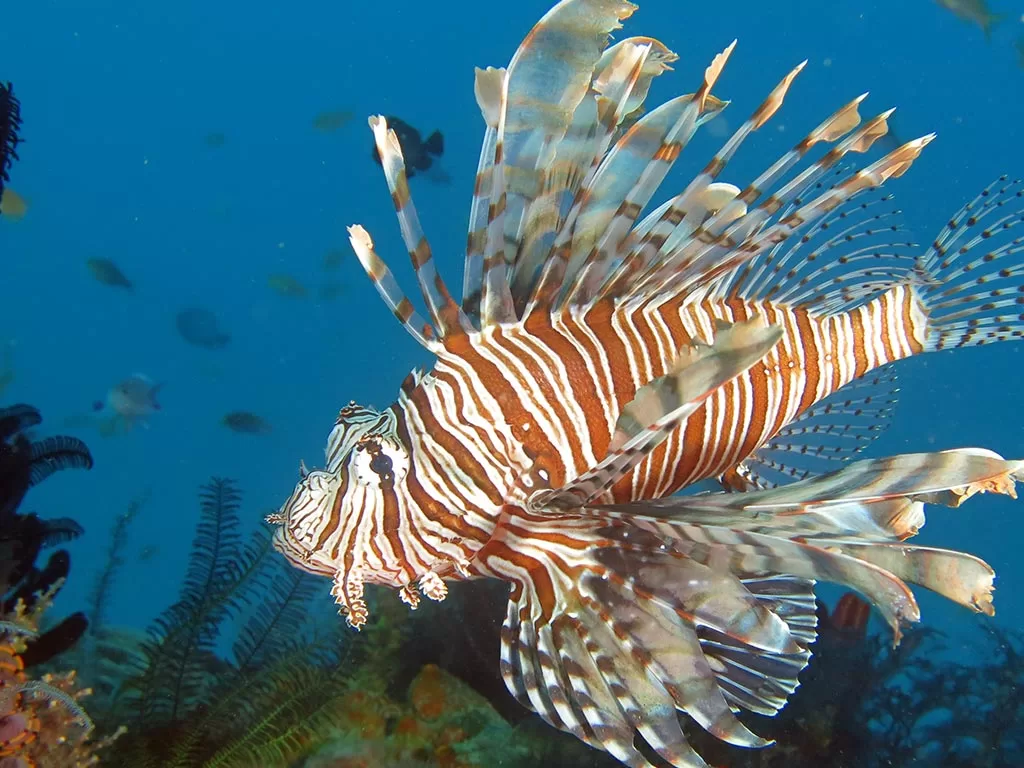
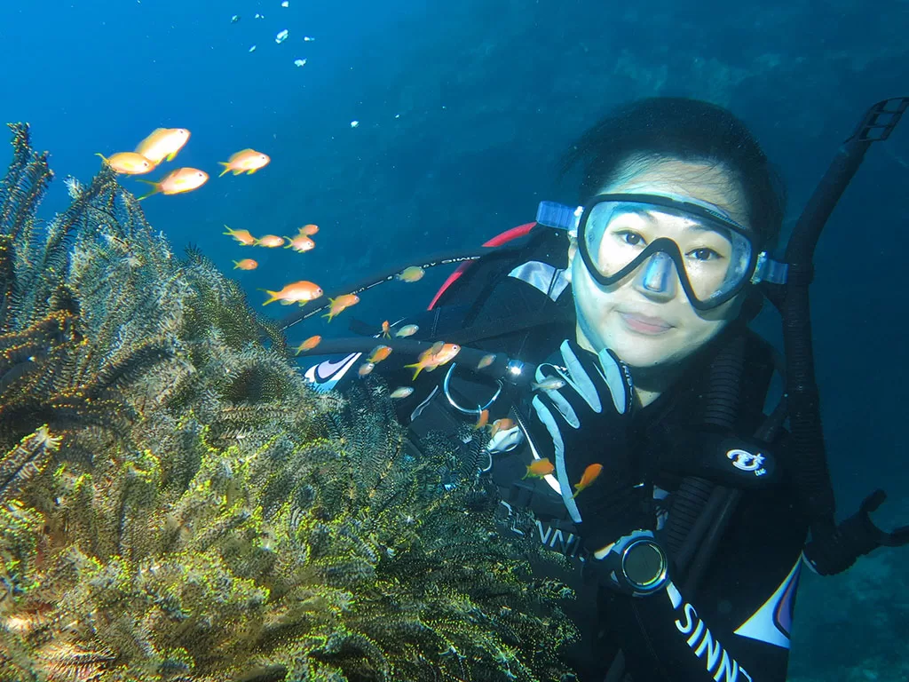
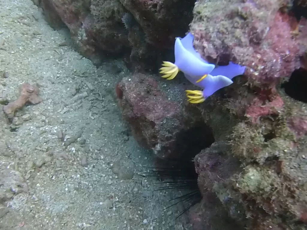
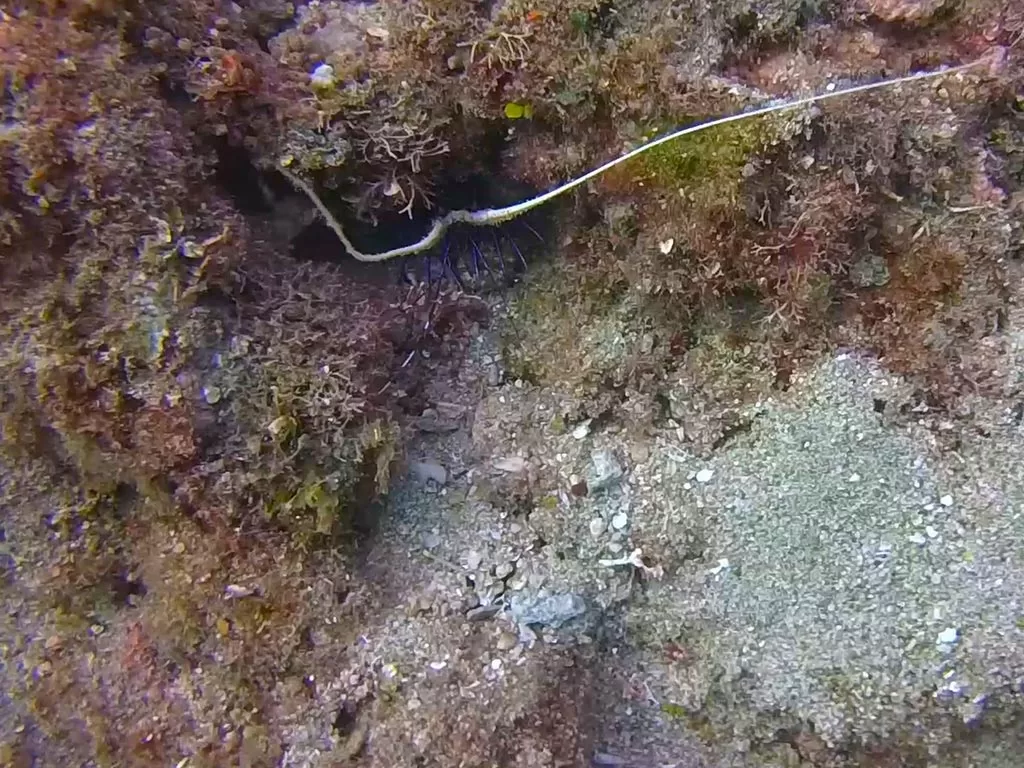
The terrain on the south side of the harbor does not change much, but at a depth of 5 meters, you can see striped damselfish and groups of neon snappers everywhere. The blue color of neon snappers is their normal color, but if the divers disturb them too much, their color will change to darker, which is why they are also called "color-changing snappers". At 8 meters depth, we can find some staghorn corals, spiky corals, axial corals, cerebral corals and microporous corals, but the growth condition is not very good, some of them even have bleaching phenomenon, which may be caused by the fishing nets and fishing lines discarded from fishing and angling activities, which are tangled in the coral groups and reefs, and may be caused by the excessive algae cover, which produces the phenomenon of bleaching. At a depth of 12 meters, there are clusters of silky-finned pond fish (commonly known as radula) stretching their long antennae in front of the mouth of the cave, where clownfish and rotary tubeworms can be found, making this site suitable for macro photography.
West Dive Site-Shanhai
Shanhai Fishing Harbor has a traditional fishing village landscape, and because the popular national film Cape No. 7 was filmed here, Shanhai Fishing Harbor has gradually become a tourist attraction, and the freshly caught fish that comes into the harbor every day is the favorite of gourmets.
Turn from Provincial Highway No. 26 through Checheng Houwan into the direction of the Marine Life Museum, then connect to 4-1 Scenic Road. Go south along the road and pass through Shizhu and Wanlitong to reach the fishing port. The diving site is located in front of the Shanhai Fishing Port. If you take the boat out from the fishing port , located 0.5 nautical miles southwest of the port channel. This dive site is on the periphery of the port. When the north-south tidal currents are strong, it will affect the dive. After heavy rains in summer, the two streams from Back Bay (Baoli Creek, Four Rivers) Chongxi), carrying a large amount of sand and mud washed all the way down, making Shizhu, Wanlitong, mountains and seas also affected and unsuitable for diving. The best season to visit this dive site is from October every year to April of the following year, It is recommended to arrive by boat and diving.
The famous dive sites in Shanhai Dive Site include Chibizai Reef, Caisson Gate, Clown Island, Linjiang Reef, etc. It is a dive site with rich underwater ecology, and is suitable for macro and wide-angle water photography.
Ecology of Shanhai sites
In the 80's, Barefoot Reef had a rich fish population, with a large number of fire-spotted snapper commonly known as "Barefoot", so fishermen called this place Barefoot Reef, and the dive area was the rocky area surrounding this reef and the caverns between the rocks. Bare Pen Reef consists of 5 to 6 reefs of different sizes clustered from south to north, with the larger reef having a top of about 9 meters and a bottom depth of about 19 meters.
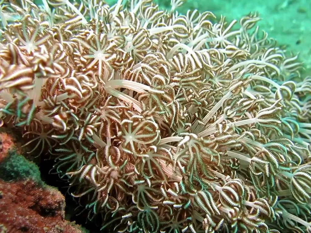
The reef-top platform is wide, with most stony corals, such as chrysanthemum coral, massive microporous coral, epiphytic coral, myxozoan coral, and axial pore coral, etc. The sea lily's elongated tentacles sway with the current, and the four-color anemone's tentacles form a spherical shape, so that the reef-top platform is full of rich ecological atmosphere everywhere.